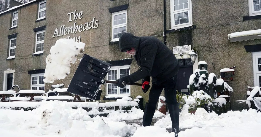
Brits are set for a fresh Arctic blast with temperatures dropping to -5C and snow nearly the length of the country.
New maps show that only the south coast is likely to escape snow as the mercury plummets over the weekend and into next week. Polar air will start to move southwards from Friday and continues throughout next week with subzero temperatures in many areas of the country.
A map from WXCharts for Friday night shows flurries of snow more than 10 centimetres deep and then for Saturday morning the charts turn purple with more snow arriving and it stretches from the far north of Scotland down to the southeast of the country. That snow is likely to continue into next week before it is mainly affecting northern areas by Wednesday but there could still be flurries of 20 centimetres or more in Scotland.
Temperatures are set to drop to zero in Scotland and low single figures in the south of the UK but then it gets notably colder by Monday for the north with Scotland seeing -5C. It comes after a week which has started cold but southwesterly air has meant that it will be warmer during Wednesday night and Thursday but a weather front coming in from the Atlantic will bring wind and rain.
“During midweek the weather will become more unsettled but milder with rain and strong winds late on Wednesday and into Thursday,” states the Met Office. It has led to a yellow warning from the national agency for wind which runs from 4pm today until 9am on Thursday.
BBC weather forecasert Stav Danaos looking to Friday said: “We are in a run of northwesterly winds, it will be quite cool I think, feeding in some showers mainly into northern and western parts of Scotland. There will be a wintry element for the higher grounds, it will turn cloudier further south and east.
“If we look to the southwest, this deepening area of low pressure which is likely to bring a spell of very windy and wet weather to England and Wales later on Friday and into the start of Saturday. So that wet and very windy weather eventually clears away from southern areas and then it will be colder on Sunday with strong northerly winds.”
And the Met Office forecast for Friday and the weekend states: “Turning more unsettled in the coming days with heavy rain and strong winds at times, particularly into the weekend with gales possible. After a mild few days, turning colder later.”
Wendy’s Reacts to Backlash Over Joke About Leaving Katy Perry in Space: ‘Always Bring a Little Spice’
Michael Bublé Is Living The Good Life With His Family In A Multi-Million Dollar Mansion In His Hometown.
Dolly Parton’s best duet yet: ‘There Was Jesus’
Grooving Groom Daniel Lewis’s Epic Dance Entrance With His Boys Makes Wedding Goes Viral.
